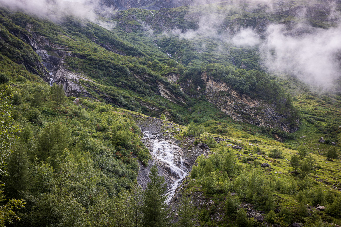
One of the many rivers and streams that came down towards the Bagne valley and the river Dranse
We followed the Val de Bagnes further up from the past post about Fionnay, along the river, Dranse de Bagnes. We were not the only ones driving and walking along here. It was a route that had been used in past times to link Martigny I Switzerland to Aosta in Italy (see future post about Aosta). The pass is called Fenêtre Durand and is the neighbour of the more famous Grand Saint-Bernhard pass. During the 11th and 12thcenturies, when the two sides of the mountain chain were under the same ruler, this passage was of great importance.
The river Dranse became a trickle further up, but that is only because a dam was built further up and the water from the dam was led through underground tunnels to the power station. The dam is at an altitude of 2,000 metres and the water drops vertically 482 metres from the dam to the power station in Fionnay . Then, from there it drops another 1,000 metres to the next power station at the river Rhône not far from Sion (see a previous post).
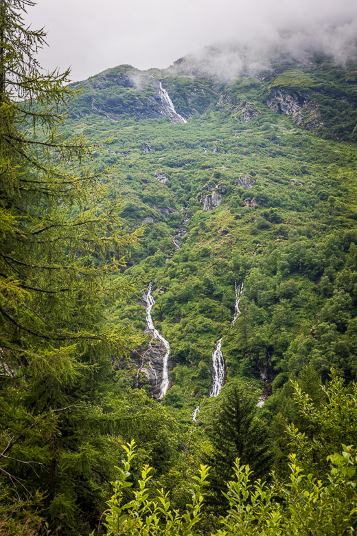
And further streams finding their way to Dranse
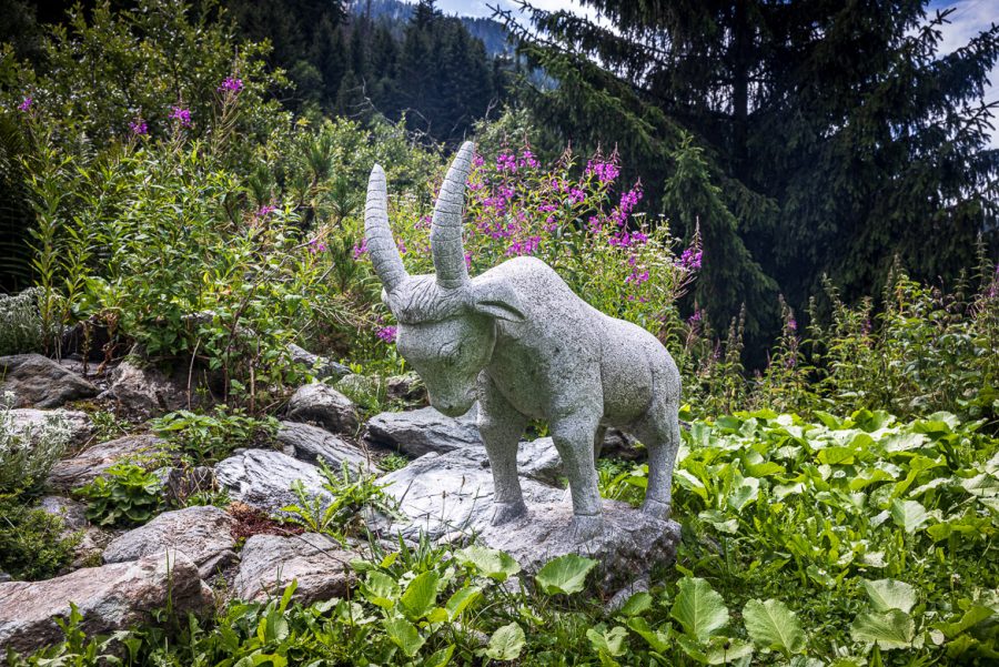
At one place where we stopped along the road to photograph rapids I found this little figure hiding among the flowers
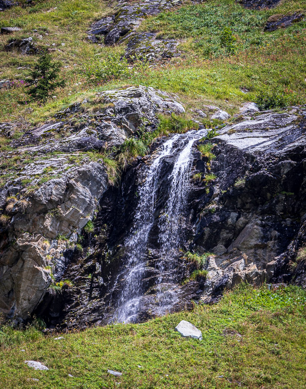
We had lunch at an excellent café/restaurant that served as a base for the walkers. Nearby was another stream coming down into the valley
This is the lowest part of the stream in the previous image with me being a lot closer
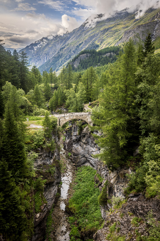
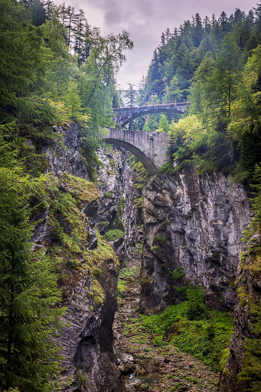
At one place there is a bridge across the river that was built two hundred years ago and allowed people and mules to easier walk along the pass to Aosta and back again to Martigny. Later a newer bridge has been built to accommodate motorised traffic. I photographed both the old and the new bridge, the old one hanging 50 metres above the river floor, at an altitude of around 1700 metres. The dam is further up and is a 250 metres high concrete structure and the highest vaulted dam in Europe. We didn’t go up to the dam itself, but you can see it far away hanging above the bridges in one of my photos.
The old iconic stone bridge on the mule and footpath route from Martigny in Switzerland to Aosta in Italy across the Alps. The deep ravine of the river Danse is 50 metres below, but there is hardly any water as it is all led through underground tunnels to the power station further down. The huge waterfall that Rada and Arne showed us at Fionnay can be seen far away in the background
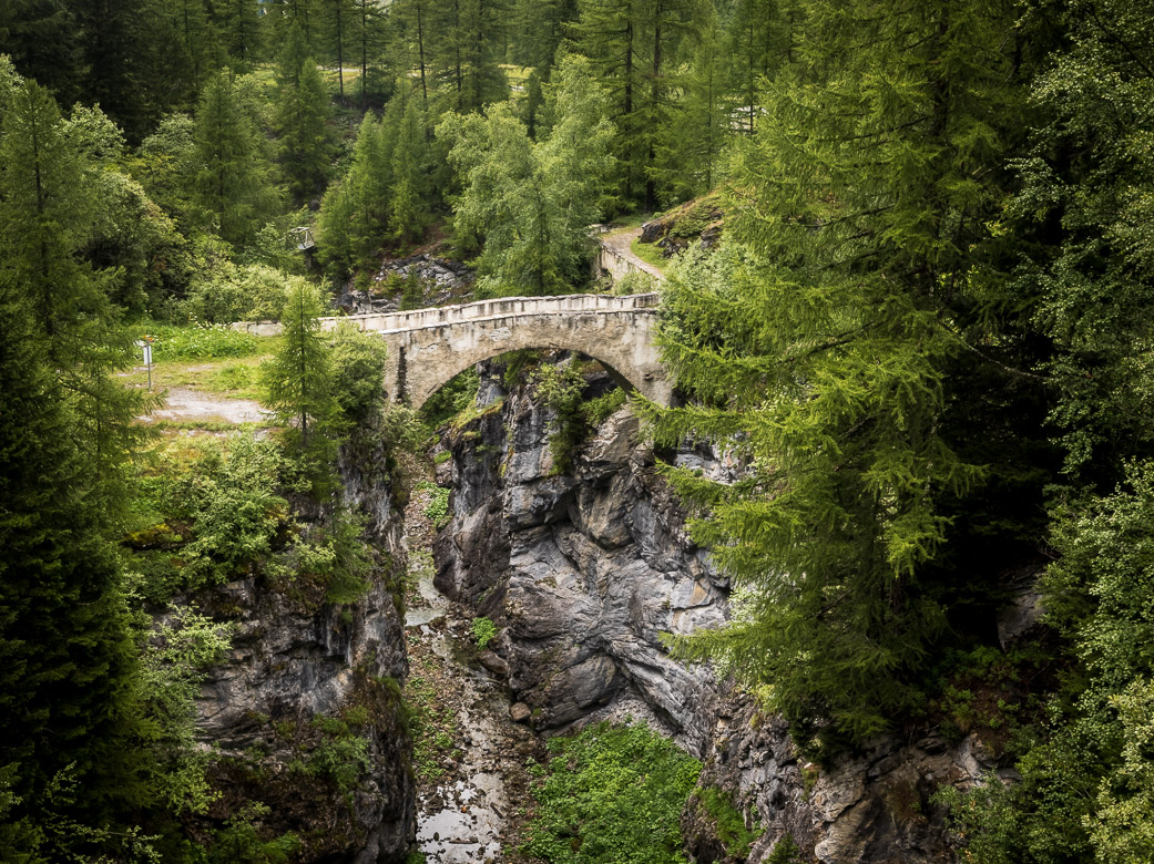
This is a detail of the bridge and the old pass across the river. The water has cut out a deep ravine in the mountain
This is further down in the valley looking up, first towards the 200 year old foot bridge and then above it the more recent vehicle bridge and finally, in the background you can see part of the huge dam protecting the valley and forming a huge reservoir for the hydro power station at Fionnay
Details of the abundant wild flowers in the valley. This is Adénostyle à Feuilles d’Allaire at an altitude of 2,000 metres
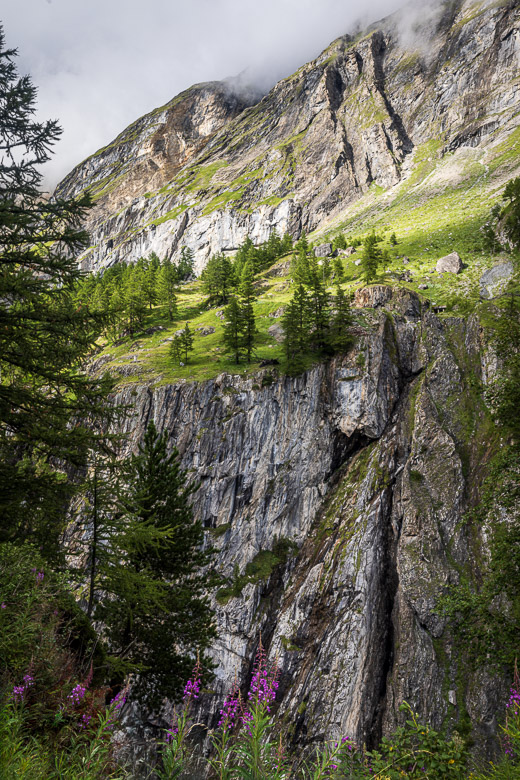
A view towards the steep side of the valley at Mauvoisin
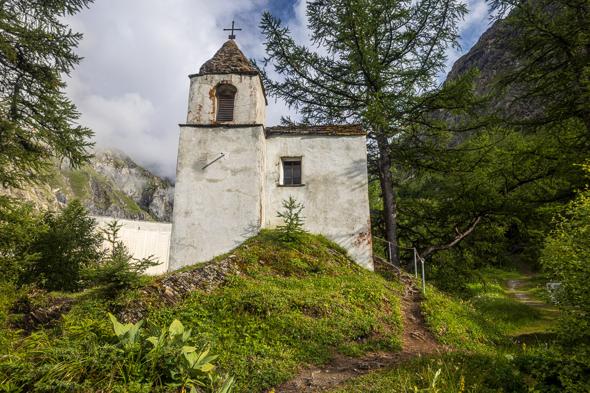
The Chapel of Notre-Dame des Neiges (Our Lady of the Snows) is located near the Mauvoisin dam on the old route across the Alpes. It was originally a watch tower belonging the Lords of Quart who lived in the Aosta Valley until the 14th C. The interior and its conversion to an ecclesiastical building probably took place in the 18th C. A religious painting dating to 1730 can be found inside. The white wall to the left of the chapel is actually part of the Mauvoisin Dam, which is far away. The dam wall is 250 metres high and it looks like it could be part of the chapel, but that is an illusion.