Normally my choice of images guide my posts and the text accompanying it. But here it is the other way around. I wasn’t aware of the importance of Skálafjørður during the Second World War, until I started to read up on the Faroe Islands, and here my two images are only there to illustrate the story.
In the beginning of 1940 Germany invaded and occupied both Denmark and Norway. And the Faroe Islands are part of the Kingdom of Denmark. So to prevent the Faroes falling into German hands, the British occupied it on the 13th of April, 1940. And Skálafjørður became an important harbour for the Allied operations in the North Atlantic.
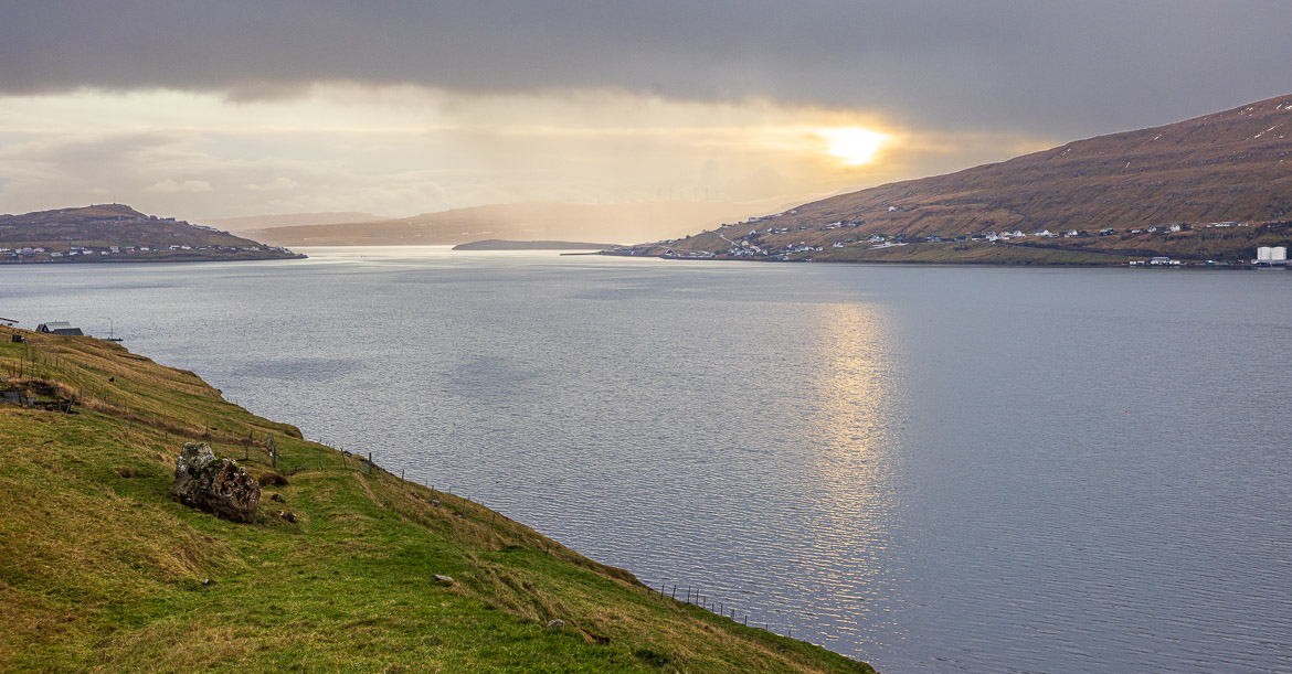
The fjord isn’t only the longest in the islands. it is also very deep (70 metres) and wide, but has a narrow, easily defendable entrance, and at the entrance is a threshold that could prevent submarines from entering undetected. The threshold was formed by the withdrawal of a glacier after the last ice age and sits at the mouth of the fjord, where it is only 650 metres wide.
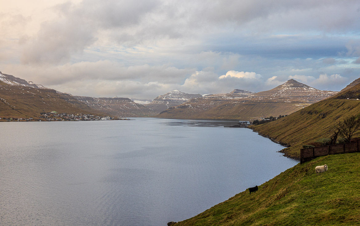
So from 1940 to 1945 this fjord offered a respite from attacks by the sea for the British Navy including their submarines, although several bomb raids by the German airforce took place. But when we were there the seas were calm and nothing threatened the stillness except some grazing sheep.