After my series of photos and posts from Portugal I will publish a few posts with photos from a trip Jennifer and I took in January to the Snowdon National Park. Snowdonia is around 3 hours drive from our home in Herefordshire and is situated in north Wales. It is named after its highest peak, Snowdon, which in Welsh is Yr Wyddfa. Yr Wyddfa is the highest mountain in Wales and England, but at 1,085 metres, it doesn’t impress those of us who have gone skiing or climbed mountain ranges elsewhere in the world.
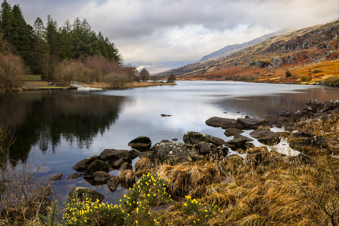
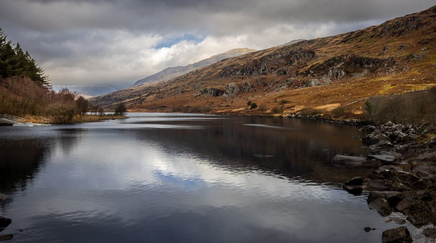
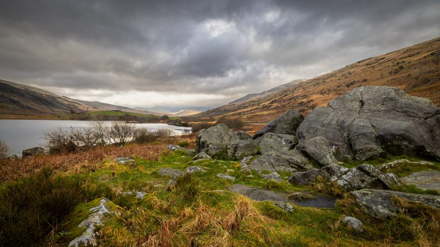
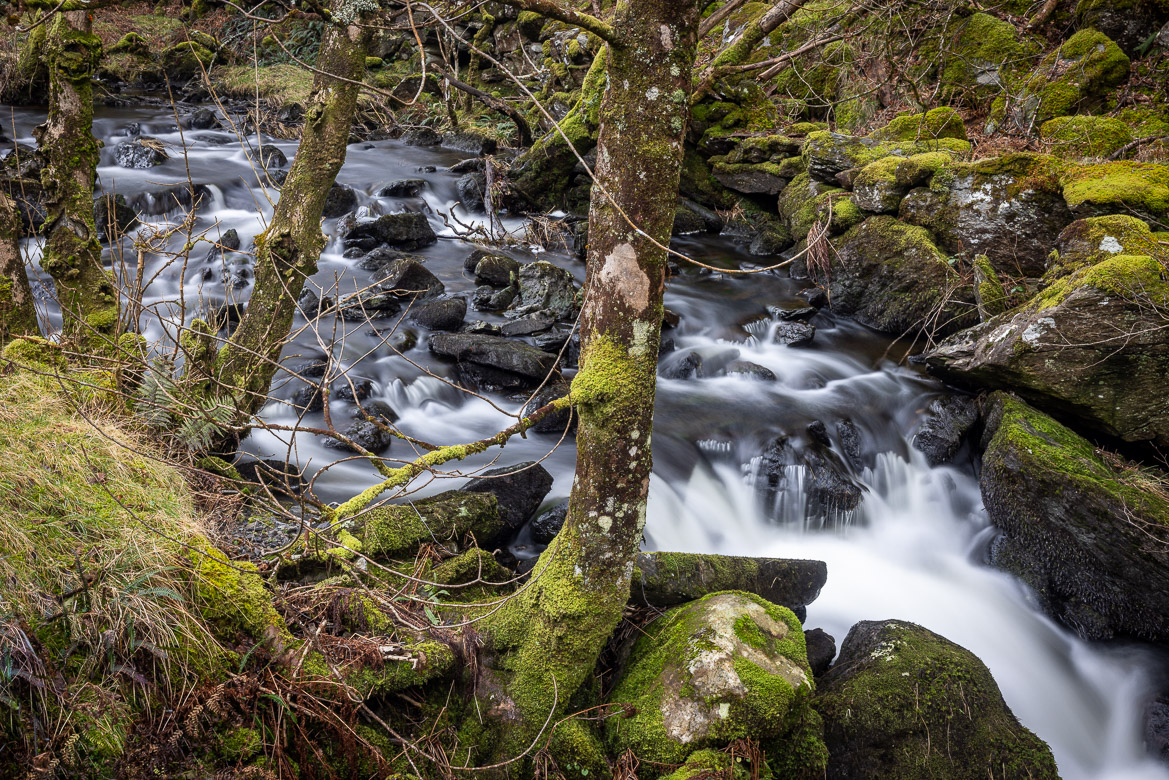
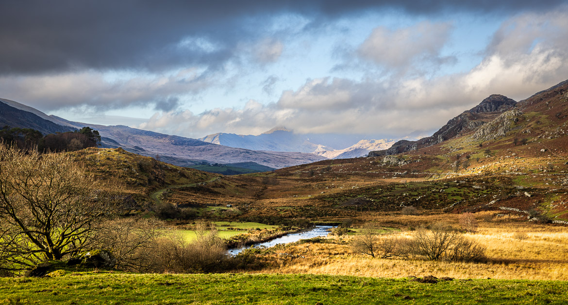
When we visited we couldn’t really see any snow, now even on the mountain tops. And although we had nice weather in the valleys, the higher altitudes were covered in clouds, so my photos are mainly from the valleys. But they show a typical Welsh landscape before any spring leaves had covered the trees.
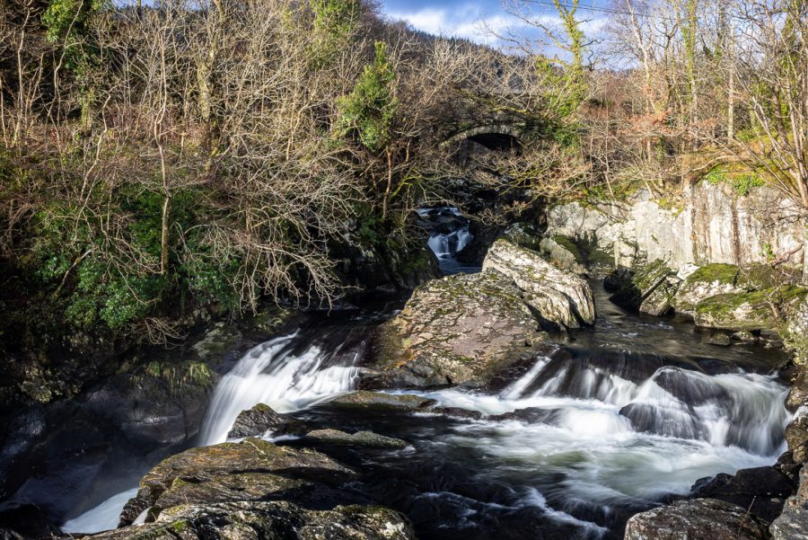
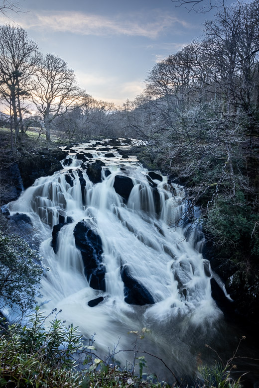
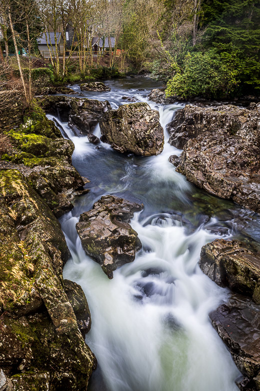
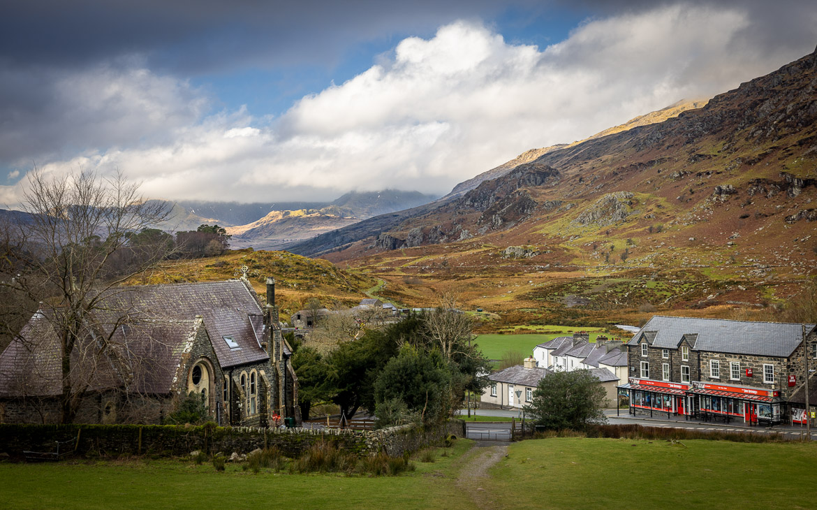
We stayed overnight a couple of nights at Betws-Y-Coed, a very attractive but of course touristy town at the eastern part of Snowdonia. Between Betws-Y-Coed and Capel Curig further up runs the river Afon Liugwy with several nice waterfalls. And in Capel Curig there were many attractive footpaths providing views for my photographs. But the illusive Mount Snowdon itself remained covered in clouds.