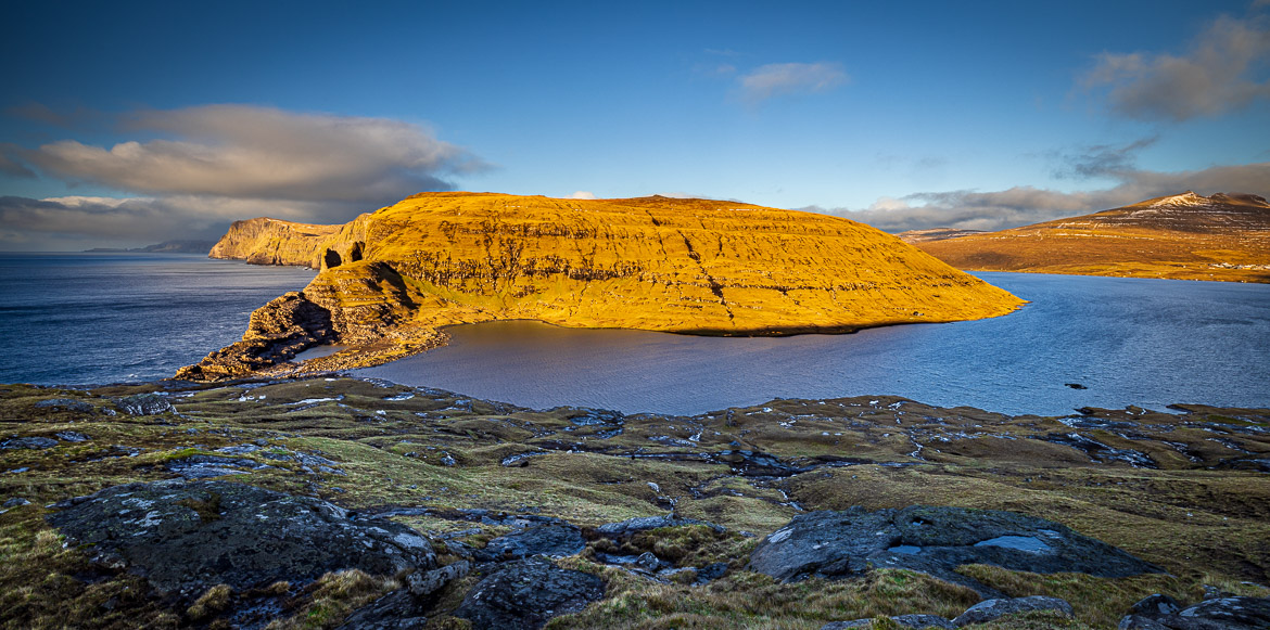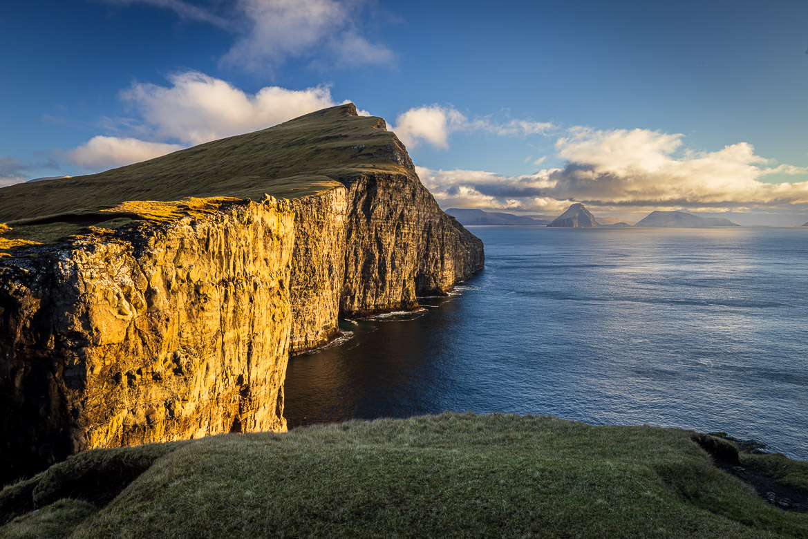
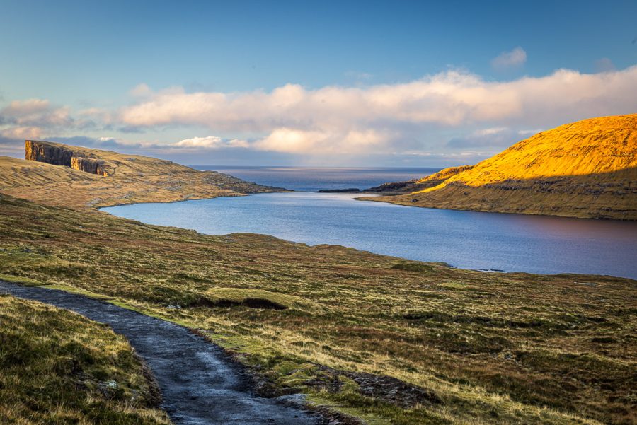
After having posted different stories and images from the Faroe Islands during three months, this is my last post from the Faroes. It shows photos from Leitisvatn, the largest lake in the Faroe Islands. It is situated on the island of Vágar. Leitisvatn is situated literally next to the ocean but about 32 metres above sea level. The lake empties into the ocean via a waterfall over the “stone threshold” that constitutes the border between the lake and the sea.
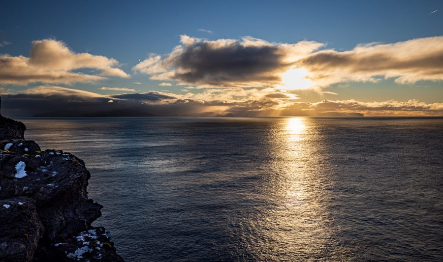
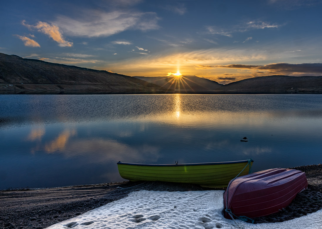
During the Second World War the British Army built an airfield near the lake and on the lake they also received seaplanes. I have never acquired a drone for photography. I think the challenge of walking to your viewpoint and finding the best possible way of depicting your story is stimulating, but here I was missing a drone. The best view is obviously from the sea looking down towards both lake and ocean and the dramatic waterfall. Maybe a future birthday present? But for this post the viewers have to do with some other images instead.