Zion is a national park in western Utah. Jennifer and I visited the US in December 2021, mainly to join a photography group to capture parts of Death Valley and surrounding area in California, but to get rid of some of our jetlag we spent two days on our own in Zion first.
Zion was formed between 100 and 250 million years ago, when it was closer to the equator and closer to sea level. Water from a higher plateau to the east carried sediments of mainly sandstone but also other minerals to the lower plateau near sea level, where it formed sedimentary rocks, dominated by Navajo Sandstone.
Zion is located at the edge of the Colorado Plateau, which covers parts of Utah, Northern Arizona, and bits of Colorado and New Mexico and which I have documented extensively in my book of the Colorado Plateau (2008).
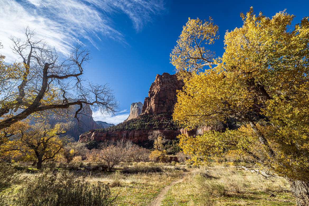
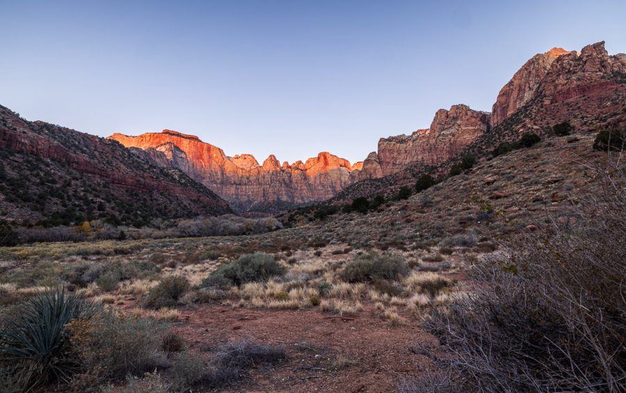
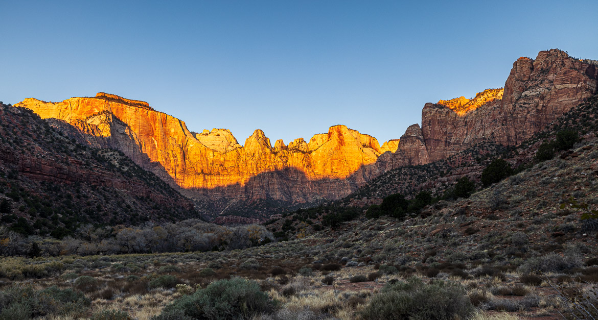
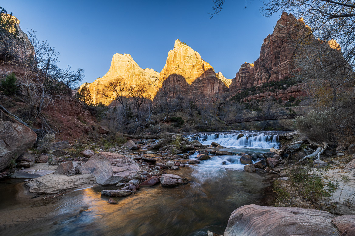
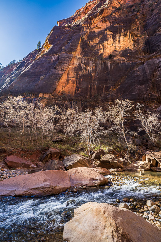
Over time ancient seabeds turned into limestone and desert sand turned into sandstone. Iron oxide gives the sandstone its reddish colour and later periods of rain dissolved some of the iron oxide, which has stroked the captstones on top of the mountains a deep blood-red colour at certain places. See my photo of the Altar of Sacrifice at the Temple of the Virgins as an example, when it is hit by the first morning sunrays.
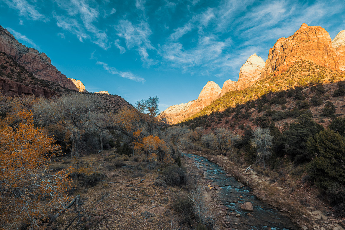
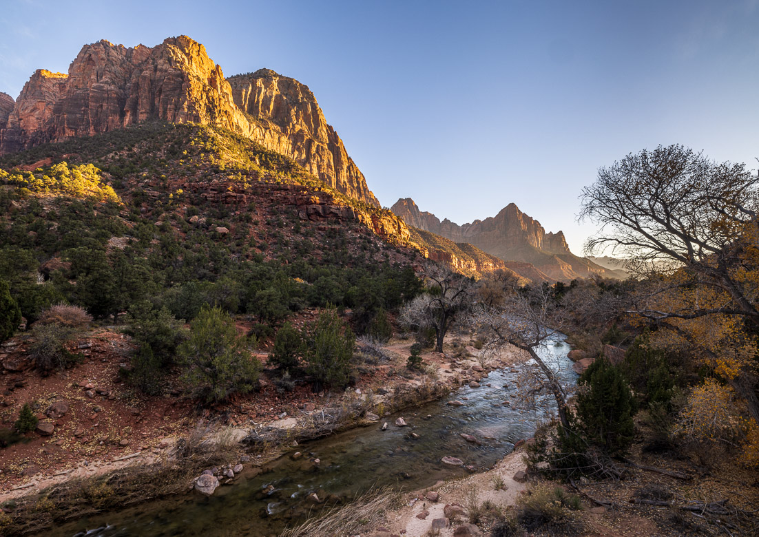
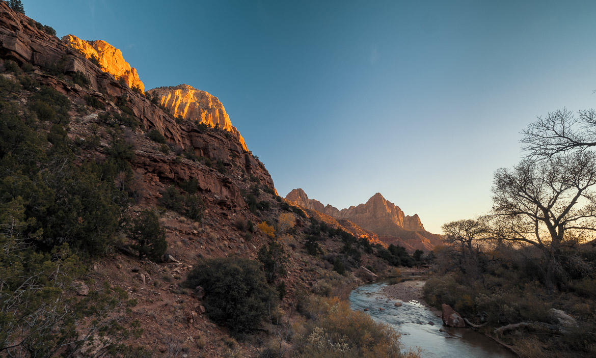
Over time this whole plateau has uplifted from near sea level so now the peaks rise as high as 10,000 feet (3,000 metres) above sea level. Rivers cut into these sedimentary cliffs and eroded them causing some large and some narrow and deep canyons. Grand Canyon is probably the most famous of them. At Zion the Virgin River has in a similar way created a canyon with steep sides rising 4,000 feet from the bottom of the canyon valley. But the formation of the canyon is geologically speaking much more recent than the formation of the mountains themselves.
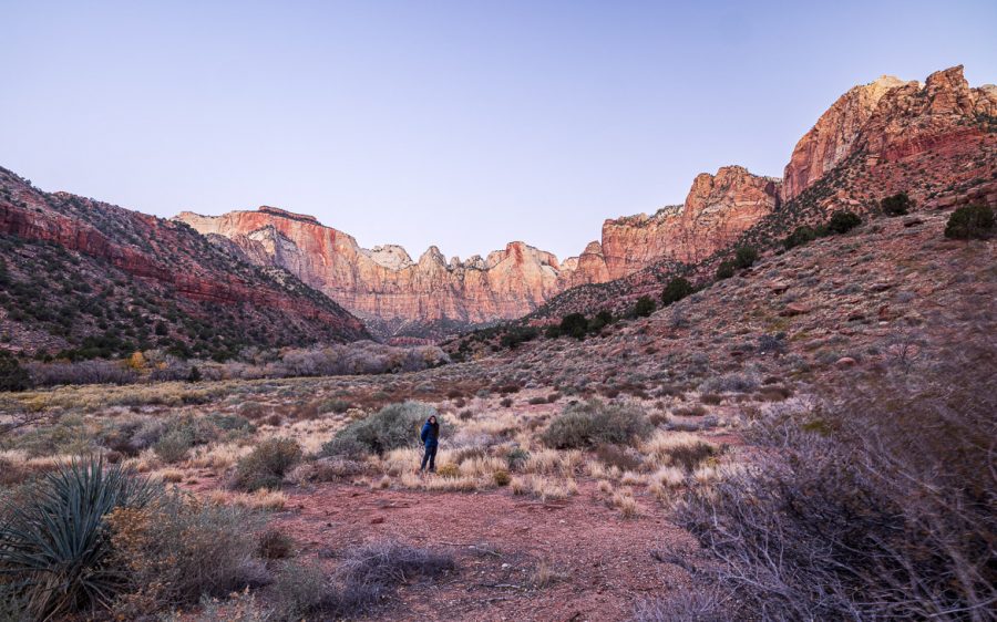
Jen and I stayed two days at a Zion Lodge in the canyon, the only hotel inside Zion National Park itself. The name Zion comes from a Mormon pioneer, Isaac Behunin who settled in the Zion Canyon in 1863 near the lodge, where we stayed. For Mormon pioneers, Zion meant the Kingdom of Heaven or a sanctuary or a happy, peaceful place. Zion is of course one of two hills in the ancient Jerusalem, where king David established his royal capital.
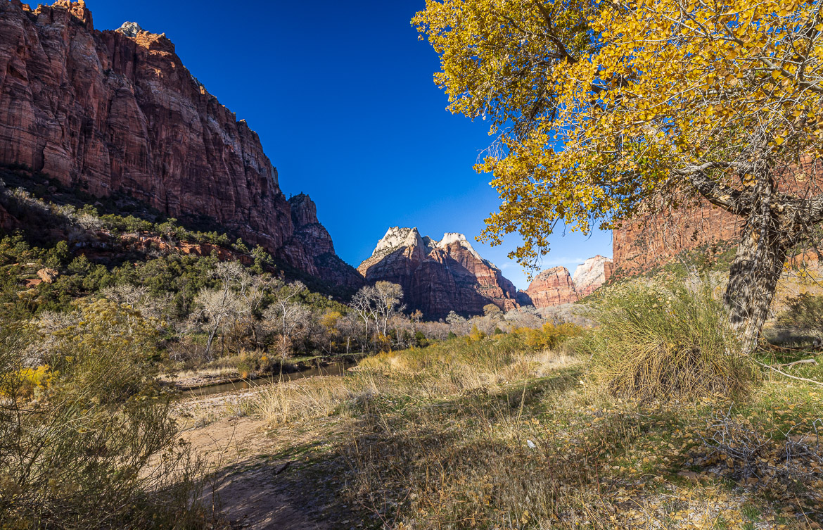
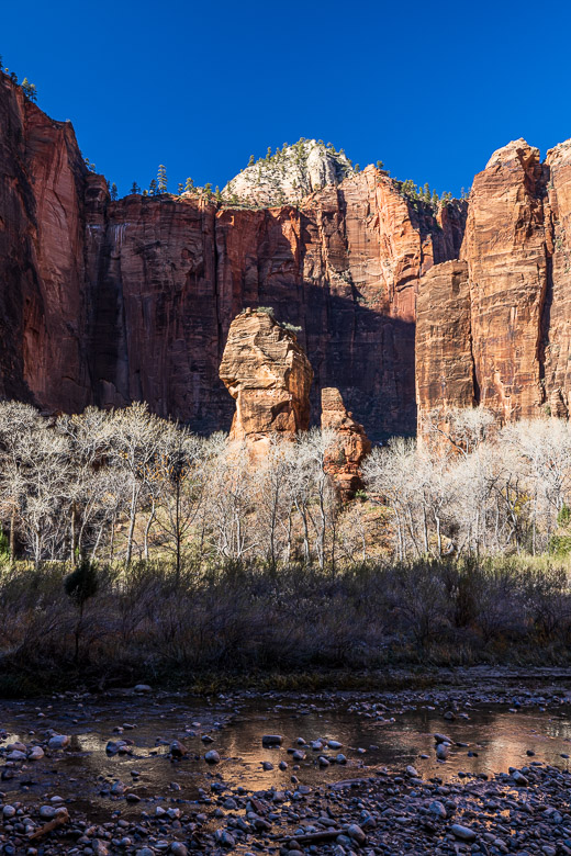
And it was for us as well a very peaceful place. We went for short hikes with Jennifer scouting photo opportunities with her iPhone and I following up with my camera, lenses and tripod (which Jen helped me carrying). We found a nice waterfall to act as foreground for the Three Patriarchs (see photo below).
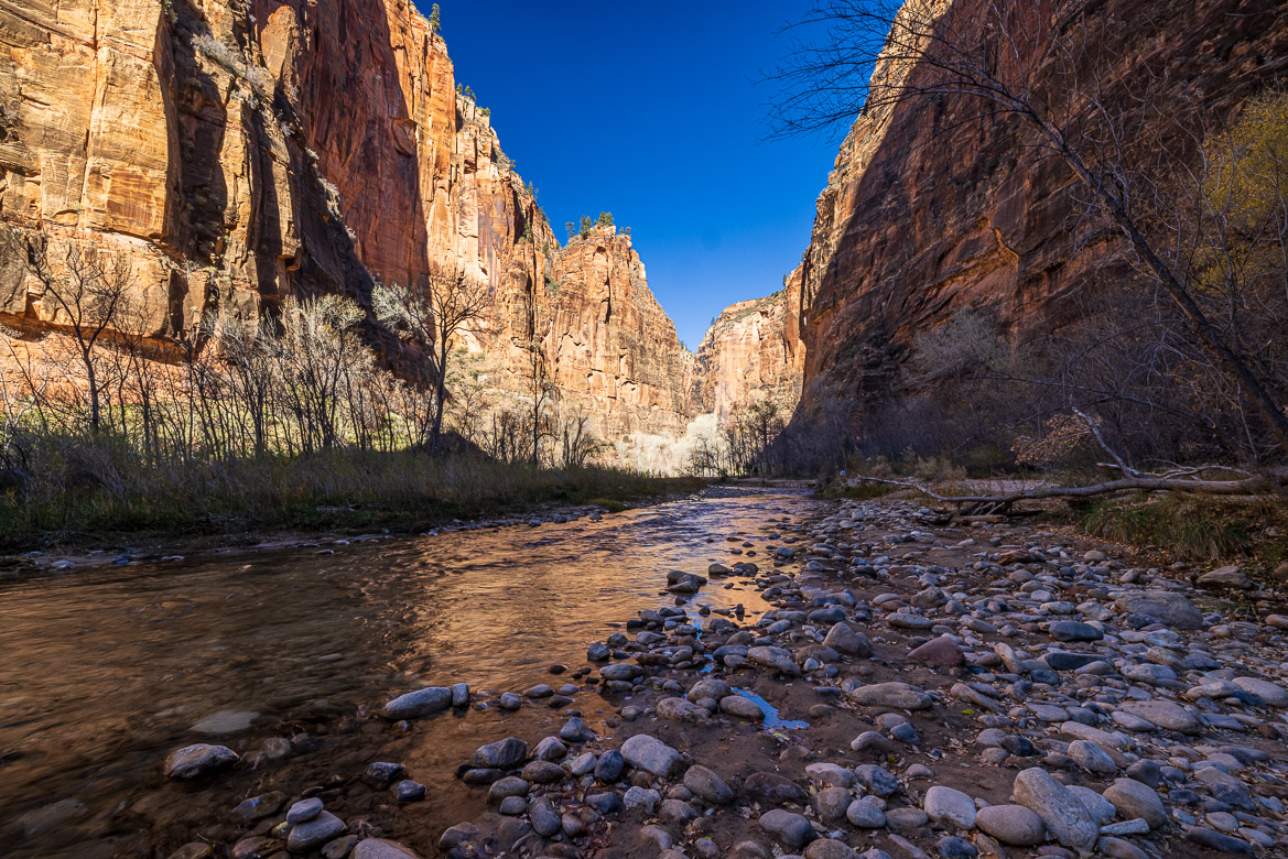
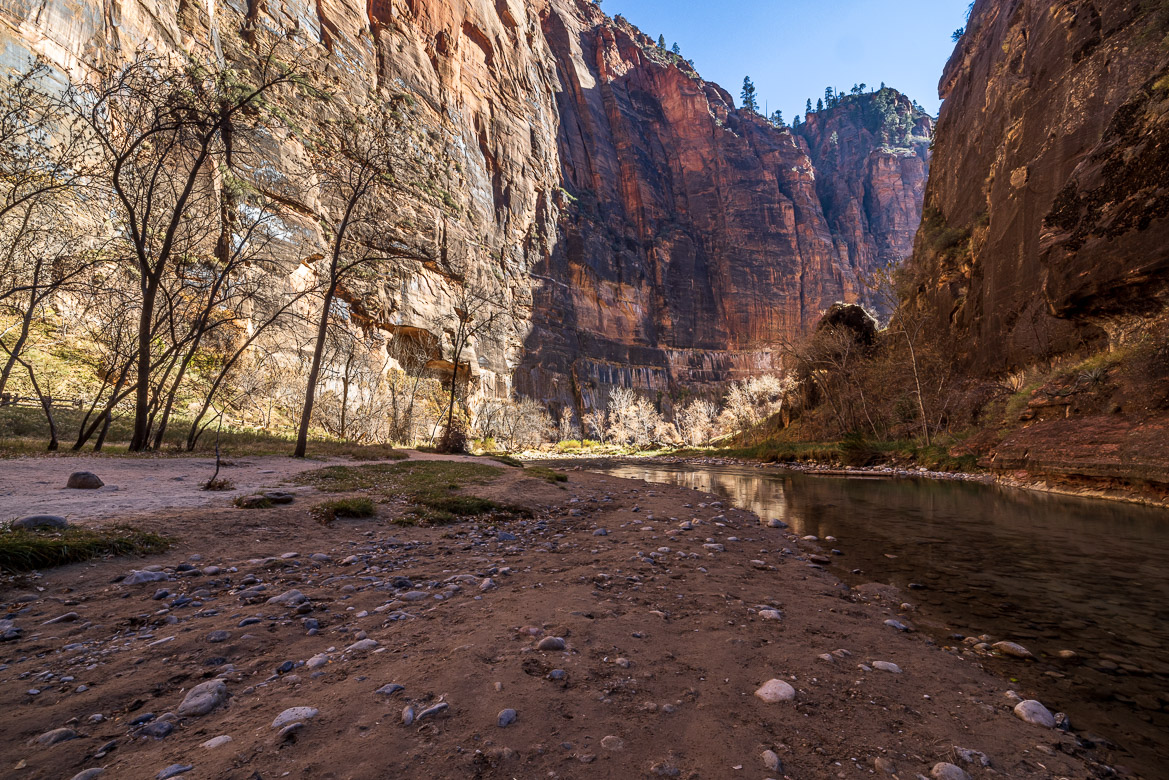
The most interesting part of our visit was probably the hike along the upper narrow parts of Virgin River. We came to a stop, when the canyon became so narrow that any further walk would have needed us to get wet by walking in the river itself. And in December that didn’t seem so attractive!
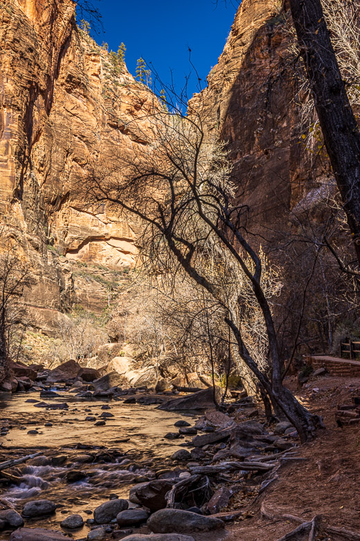
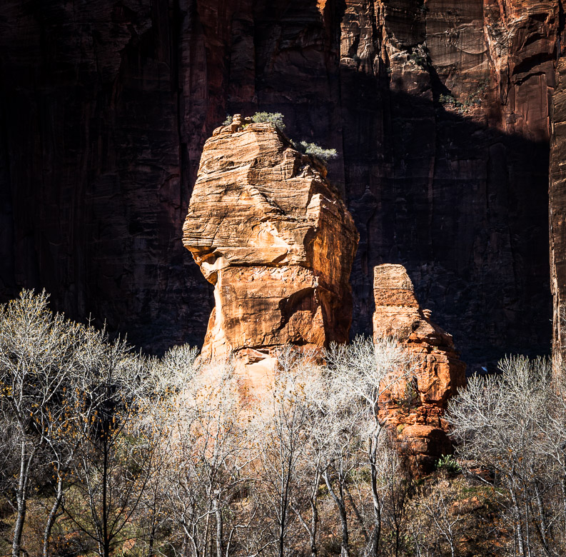
At the upper parts of the canyon are “the Altar and the Pulpit”, two rock or mountain formations that resemble an altar and a pulpit standing between the two canyon walls, one sunlit and the other in shade. To better see the rocks, I have a close up below to the left.
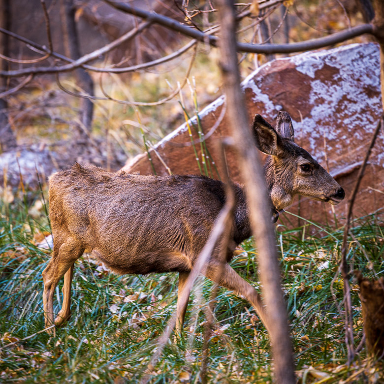
There were lots of deer in the park and had I been more alert, I would have been able to catch several images. But every time they appeared I had just set up the camera on the tripod to capture the landscape and before I had dismounted the camera and changed to a tele lens they decided to walk away. They were too blasé to bother to wait for just another photographer. But I got one although a branch was coming between me and the deer. I think Jennifer may have got some better photos on her iPhone.

Close-up of the Altar and the Pulpit 
A deer at Zion Canyon